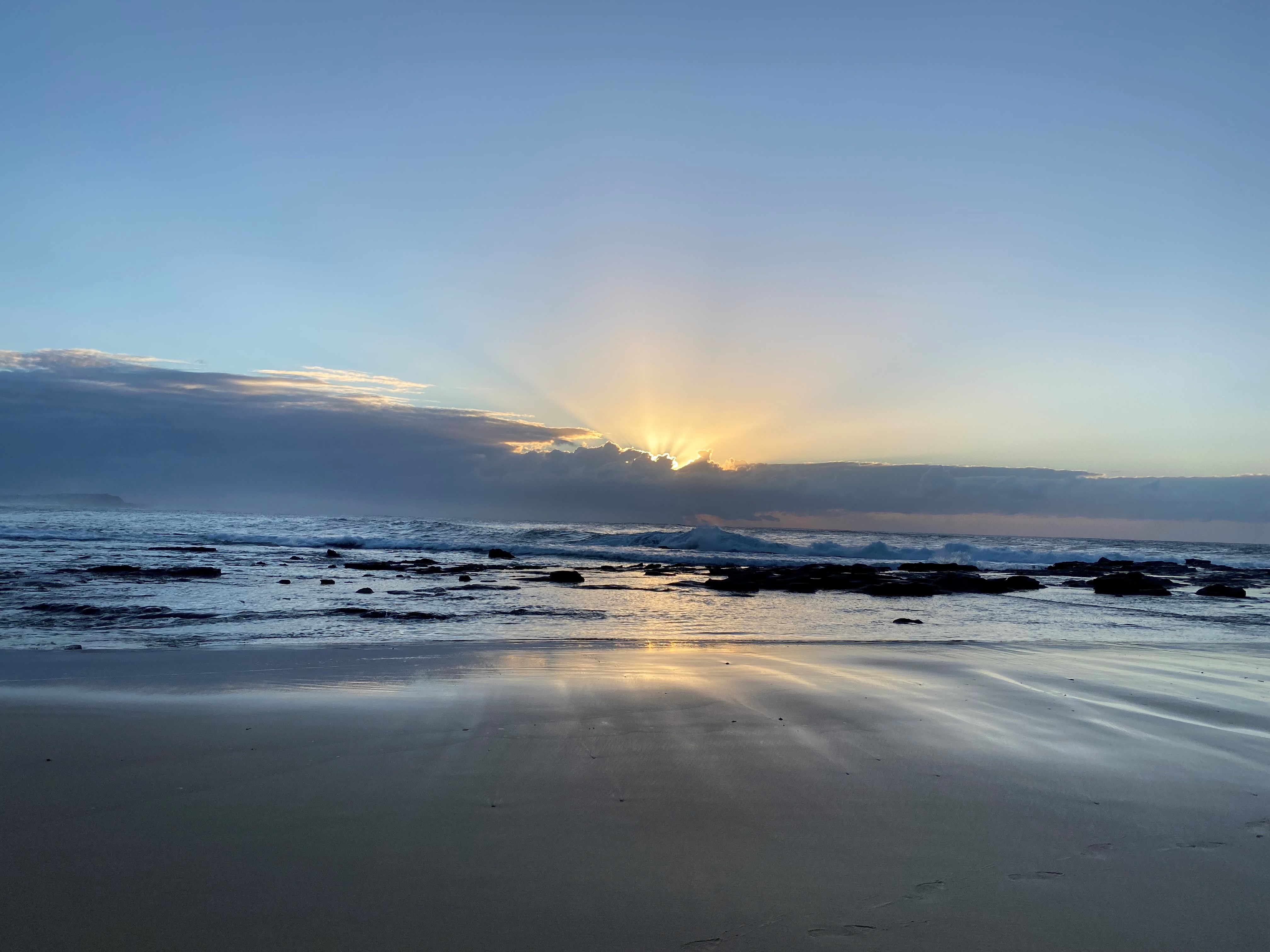
Sunrise at Dudley Beach.
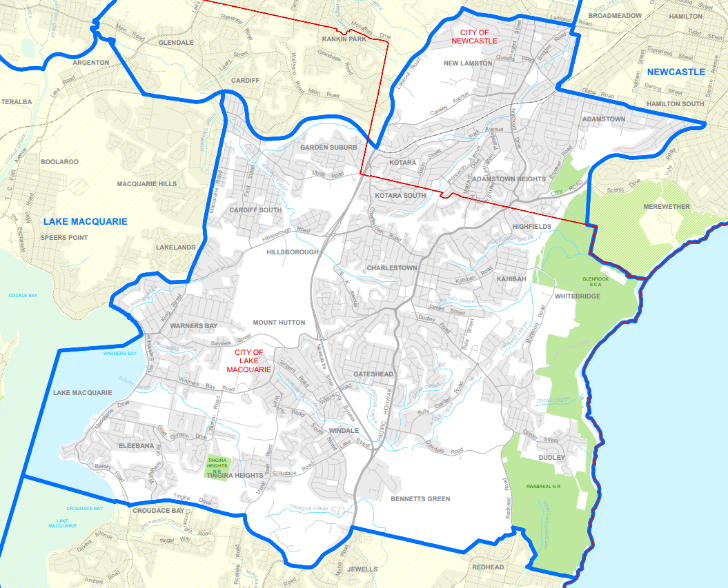
Map of the Charlestown electorate.
Charlestown Electorate
The Charlestown electorate encompasses an area of just under 68 square kms, taking in parts of New Lambton through to Merewether in the north, extending to Eleebana in the west, and Belmont North in the south. The Charlestown electorate was established in 1971 and has a population of around 82,000.
Situated on the traditional lands on the Awabakal people, the Charlestown electorate is renowned for its rich and diverse natural landscape. From our beautiful beaches to the shores of Lake Macquarie, the electorate also takes in beloved community treasures such as Glenrock State Conservation Area, Warners Bay Foreshore, and the Fernleigh Track, offering a unique blend of coastal, lake, and bushland environments that connect our community.
Suburbs
Suburbs in the electorate include Adamstown, Adamstown Heights, Belmont North, Bennetts Green, Broadmeadow, Cardiff, Cardiff South, Charlestown, Dudley, Eleebana, Garden Suburb, Gateshead, Highfields, Hillsborough, Jewells, Kahibah, Kotara, Kotara South, Merewether, Mount Hutton, New Lambton, New Lambton Heights, Tingira Heights, Warners Bay, Whitebridge, Windale.